Last weekend I added another peak to my NH48 list by submitting Mount Moosilauke on a quick day hike. I haven’t been hiking much this spring due to my desire to get my house fixed up and put on the market sooner than later. I had heard that Moosilauke is one of the easier 4000 footers so I figured it would be a good warm up for the summer. They were right.
June 1, 2019: The Mount Moosilauke and South Peak Loop day hike.
Some days you just need to hike and this was one of those days. I woke up early on a Saturday morning and drove to the White Mountains in NH for a simple day trip. While many would say 4 hours each way for a 7.2 mile hike is a little drastic, most hikers would agree it is a worthwhile trade off. I pulled in to the access road for the Moosilauke Lodge, parked, laced up my boots and hit the trail sometime around 11:00am.
The trail enters the woods just below the Moosilauke Lodge and, while I am thinking about it, that lodge looks like an awesome place to stay. It is owned and operated by Dartmouth College and staying there is very affordable.
I chose to complete the loop by ascending via the George Brook Trail, traverse the ridge to South Peak on the AT, continue the decent on the Carriage Road and then cut back to George Brook via the Snapper Trail. Supposedly, this is the easiest route to the summit of Mt. Moosilauke and after competing it, I would not be surprised at all. The footing is great for the whole loop and there wasn’t any crazy steep sections or hazardous water crossings. For people who are just getting started with their NH48 or wanted to try a 4000 footer, this might be a good one for you or maybe try Tecumseh.
Disclaimer: Know your own abilities and I am not responsible if you die or get hurt doing this trip. Just because it was easy for me doesn't mean it will be easy for you.
Now that we got that out of the way…
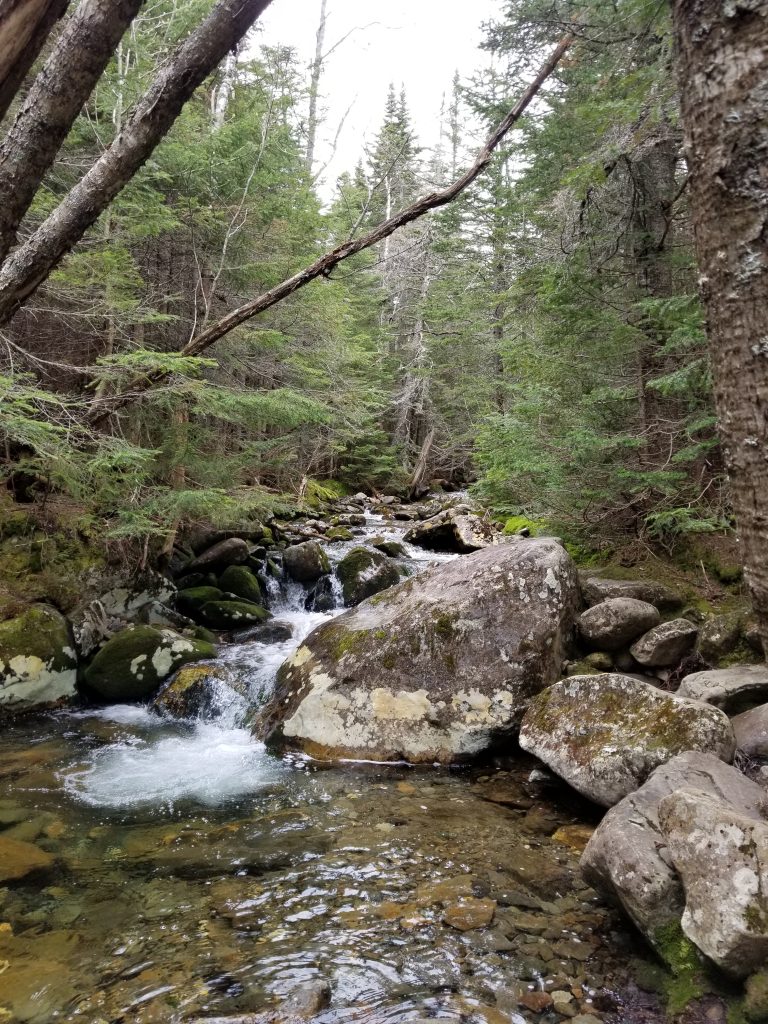
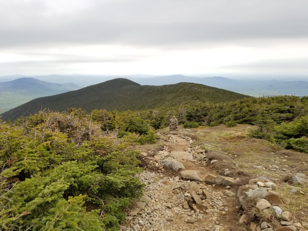
The ascent up George Brook trail climbs approximately 2500 vertical feet, steadily for the entire 3.3 miles to the summit. I am basing the elevation and distance off of AllTrails because I am too lazy to pull out my maps and confirm right now. As mentioned earlier, the trail is in good shape with easy footing (for the White Mountains) all the way to the summit. The water crossings had bridges although some have seen better days and probably should be replaced soon. There are only a couple view points on the way up before breaking above treeline but they do not disappoint. That said, I wouldn’t stop for lunch just yet. Once above treeline, you are graced with one spectacular view after another from the bald peak of Moosilauke.
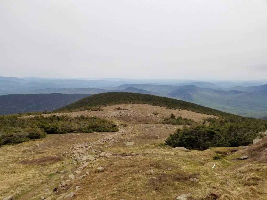
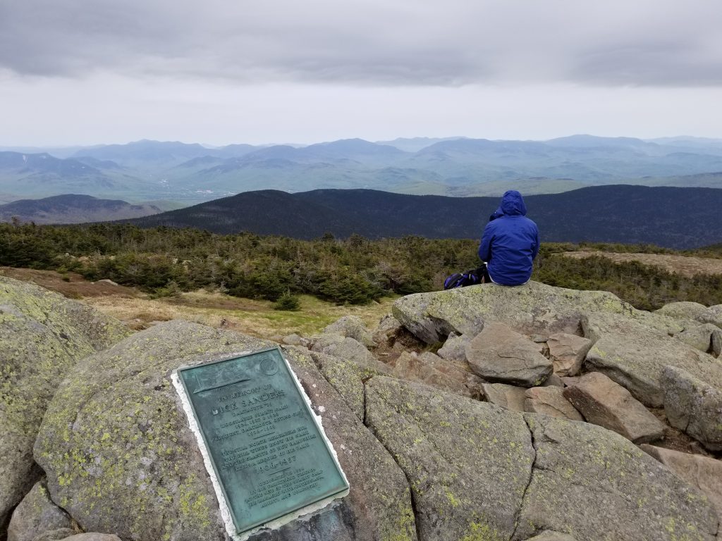
The summit of Moosilauke is spectacular. 360 degree views of the beautiful White Mountains and wide open spaces to sit and soak in the sun. Or are there? I had planned on eating lunch at the summit but when I was there it was PACKED! I get it. It was amazingly beautiful and a relatively easy hike so a large crowd should be expected on a nice weekend day. I decided to hold off on my lunch and headed across the ridge over to South Peak.
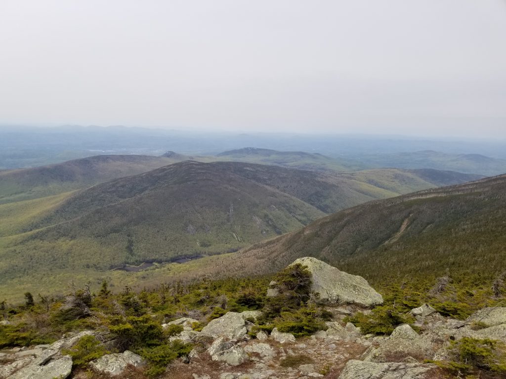
Let me first say that ridge walks are almost always amazing, as long as you don’t have a weather event while on one. This ridge didn’t disappoint either. When I got to the turn off for South Peak, a couple was trying to decide if it was “worth it” to add the distance to South Peak before descending to the lodge. For me, I drove all the way to NH for a quick hike so you know I was going there. Also, it is only a few tenths of a mile off the main trail anyway. Let me stop right here and say, “If you ever have that thought about skipping South Peak, wipe it from your mind and GO TO SOUTH PEAK!”. The view is amazing and there were no crowds! At least there were none at all when I was there. Save your summit sandwich or summit beer for South Peak and soak in a beautiful view with a little more solitude.
The descent down the Carriage Road and Snapper Trail were easy by White mountain standards. They never flatten out though so sometimes several miles of downhill can make your knees ache. That would be my only warning there. I saw some fresh moose droppings on Snapper but the moose was hiding somewhere out of sight on Moosilauke.
I arrived back at the lodge around 3:15pm so my total time was around 4 hours and 15 minutes but I certainly didn’t rush and took plenty of time at the summits. The total trip stats according to AllTrails is 7.2 miles & 2500 vertical rise. I probably did a little more mileage because I hiked out on the AT for a bit from the summit to see if there were any good views from that direction before coming back to summit and heading out to South Peak. So, let’s call it 7.5 – 8 miles when it was all said and done. Trip time varies from one individual to the next so please don’t base your trip on the time it takes me to hike these mountains.
The verdict: I highly recommend this hike and will probably do it again sometime. If nothing else, I can always follow the signs to Maine.
