If I was smart, I would have done this post when everything was fresh in my mind. Instead, I was lazy and here we are over a month later and I am just sitting down to start writing up a trip report. On Memorial Day weekend, May 25-27, 2018, I decided to backpack the loop around Cape Chignecto, Nova Scotia. This is a brief summary of the trip:
Day 1:
I woke up in the backseat of my car to the sound of rain tapping on the windows. Looking out, I was about to see my first views of the Bay of Fundy which would become the backdrop of my next few days. When checking the weather the night before, it appeared like there would be some clearing during the day and then the rain would come back at night so I wasn’t in any rush to get wet right away. If I planned this right, I should be able to get to camp in the window of no rain.
I made my way across the parking lot to check in at the ranger station. The staff was helpful and they gave me a photocopy of a map as well as the tide information. Just so you know, you will need to check in with them before you head out on your trip. If you are planning a trip to Cape Chignecto, I also wrote a post to help with that as well.
The first decision you have to make is whether to take the trail or the beach route. If the tide is on your side, the walk up the beach will save you about .7 miles and the climb over a hill. I didn’t go over the hill on the way out or the way back so I can’t tell you if there are any views up there. After heading up the beach you will see a yellow sign and some spray paint on the rocks where you will turn right and head up a flight of stairs. At this point, you are officially on the trail.
I planned my first night to be at Refuge Cove which is about 7.5 miles from Red Rocks with the beach shortcut. There are two hills in between the beach and the arrival at Refugee with steep assents and descents for each. The first steep decent is going down to Mill Brook and the other is the descent into Refugee Cove. Someone told me the descents are as steep as 45 degrees in places and I wouldn’t be surprised if that were true. If you have knee issues, you might hate these drops.
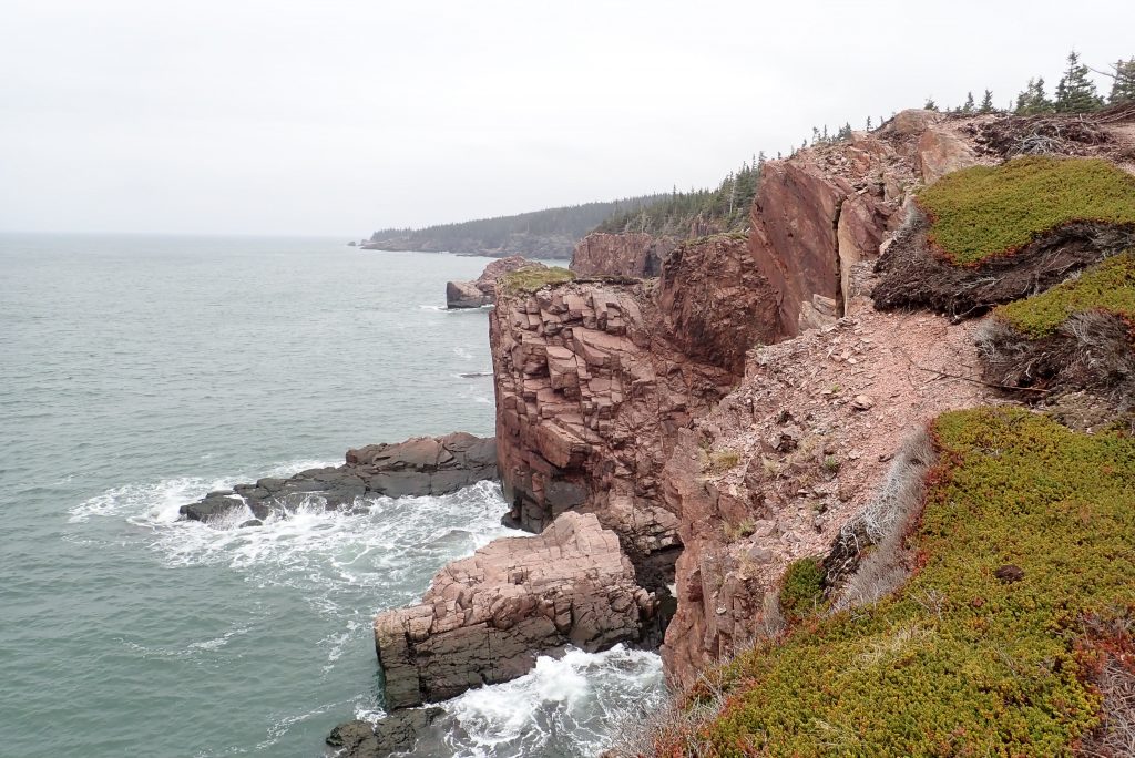
When up on the hills, there are limited views on Day 1 but that is not to say there aren’t any at all. The views you get to see are quite stunning but based on the map I expected a few more than there really was. Then again, it was pretty foggy that day so I probably wouldn’t have seen much anyway.
I descended the second hill into Refugee Cove and set up camp. After exploring for a while and a nice dinner, the rain came back so I was in my tent by 8pm and fell asleep early.
Day 2:
When I woke it was still raining but the rain tapered off fairly quickly. After a quick breakfast, I packed my wet tent into my backpack and was on the trail. This was a day to remember and I am really not sure what I can say because it was one beautiful overlook after another. As far as the trail is concerned, there are not the tough ups and downs of Day 1, but the trail was muddy in places. I am not sure if they dry out as the summer goes along but they sure were wet at the end of May when I was there.
When coming out of Refugee Cove, you climb up to the plateau and are almost immediately hit with your first incredible view for the day and these views get more and more frequent as you go along after passing the point of Cape Chignecto. There was still quite a bit of fog when I hit the point so I can’t really tell you if there is a view there or not. I couldn’t see anything but water and fog but with all of the other views you will get to see on this day, you will hardly be disappointed.
The plan for Day 2 was to stop at Seal Cove for the night but that deserves it’s own paragraph here. The water source for Seal Cove isn’t right in the camp area the way it was in Refugee Cove so I filled up my 4 liters of gray water in the stream by the cove. Based on the map, the campground formed a loop and since I was in site 7, it looked like it would be shorter to head further on the trail and then come in the back side of the loop. When I got to the far side of the loop, there was a sign that pointed in to sites 1-5. That made me think I was actually at the beginning of the loop and kept heading up the trail. Eventually I had gone far enough where I figured the sign was wrong. At this point, I had to decide if I should backtrack or just keep going to Eatonville. I called the ranger station and they adjusted my permit to stay at Eatonville and that was that.
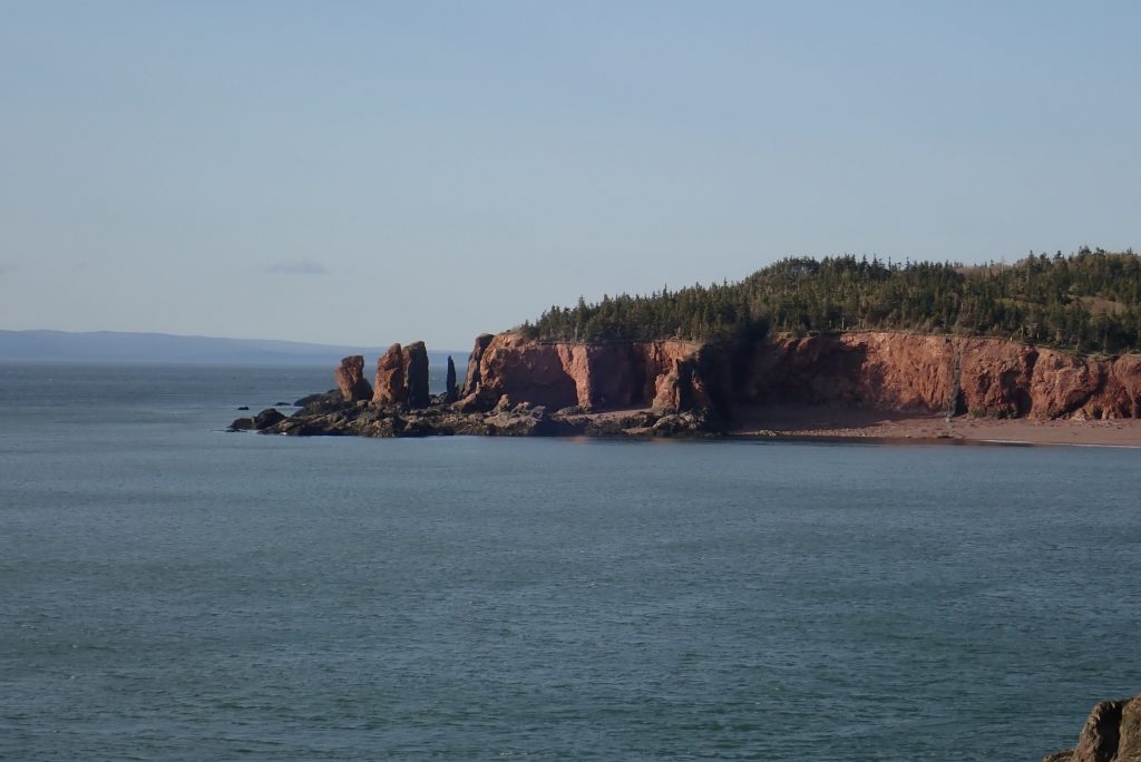
Missing my turn meant I had a long Day 2 but it also meant I got to see the Three Sisters in late day sun.
I arrived at Eatonville with about an hour left of sunlight. I set up camp and ate dinner quickly. Unfortunately, that meant my tent didn’t have a lot of time to dry out and it was going to dip below freezing overnight. That’s life. I fell asleep quickly after my long day but what a day it was.
Day 3:
I woke to a frozen tent and a lot of condensation. It was cold. It was actually colder than I thought it would be and I needed to get up and move around to warm up. I walked around in circles in the field at Eatonville to stay warm while I waited for the sun to rise enough to shed some beams on my tent. I really wanted it to thaw out before I forced it into my pack. I doubt any damage would occur from crushing a frozen tent but it wasn’t worth the chance.
Most of the Day 3 is a pretty trip through the woods. There aren’t much for views until you intersect with the coastal trail again. That isn’t to say it isn’t beautiful in it’s own secluded way.
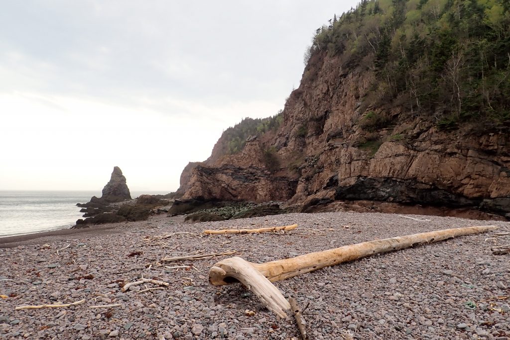
Once you are back on the coastal trail, you will shortly find yourself by the stairs from early on in your journey if you took the beach shortcut. I took the beach back to Red Rocks because it was just gorgeous outside and a walk along the beach would be a nice way to end the day. The final arrival at Red Rocks allows you to look up the coast and remember just how many views you were able to see in one short trip. What an amazing journey it was.
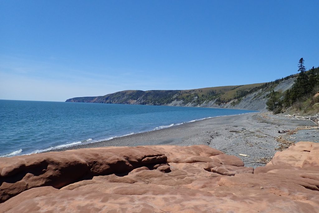
At this point, you should stop in to the ranger station and let them know you made it off the trail. There are also clean bathrooms to take advantage of for cleaning up before the long drive home.
If I had to do it all over again, I might consider taking 4 days to do the trip and add another night somewhere between Refugee Cove and Eatonville. There were just so many views that I wish I had a chance to just sit and take them all in instead of knowing I needed to move on after a short time.
If you get a chance, check out my video of this trip on youtube to see more of this beautiful trip.
