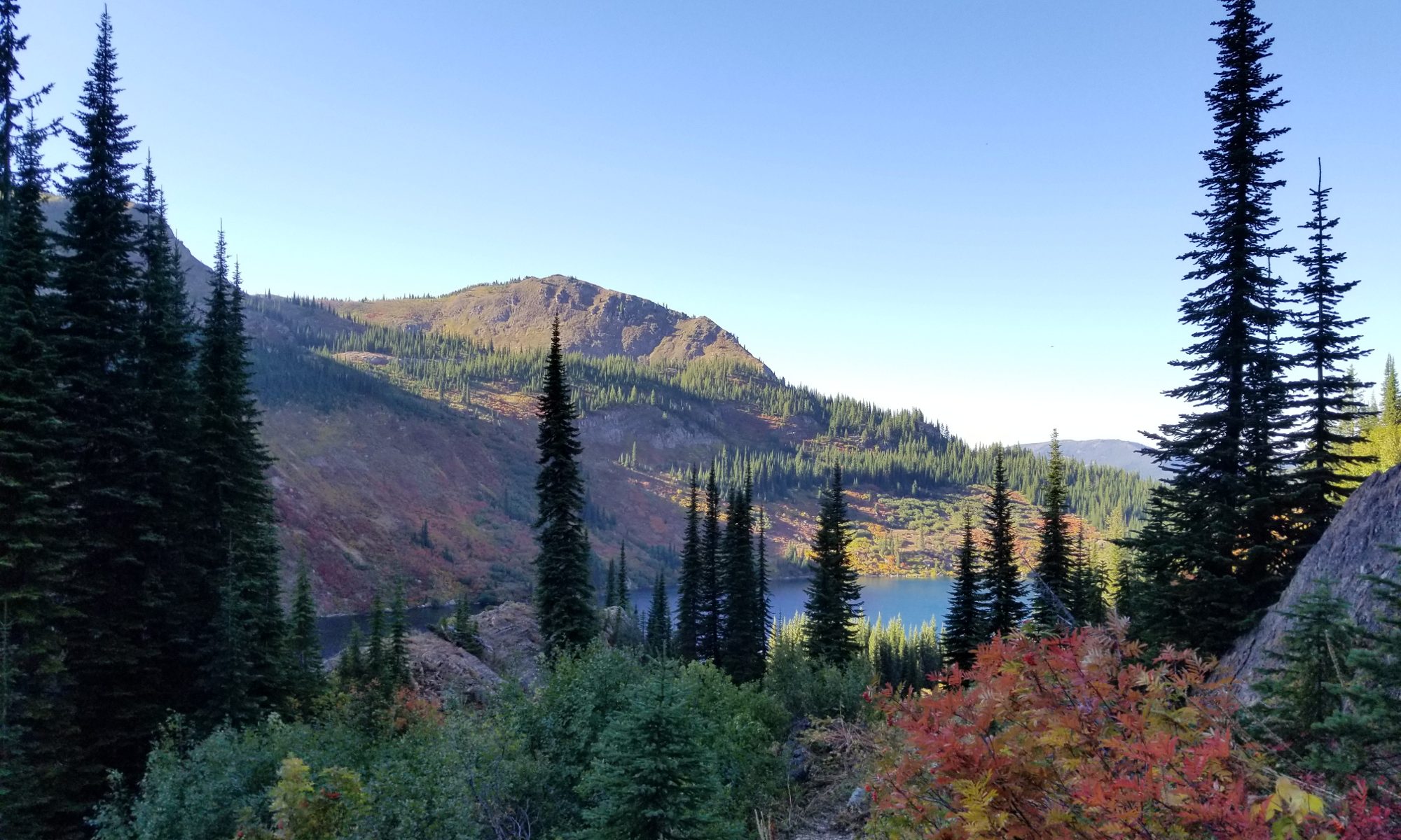
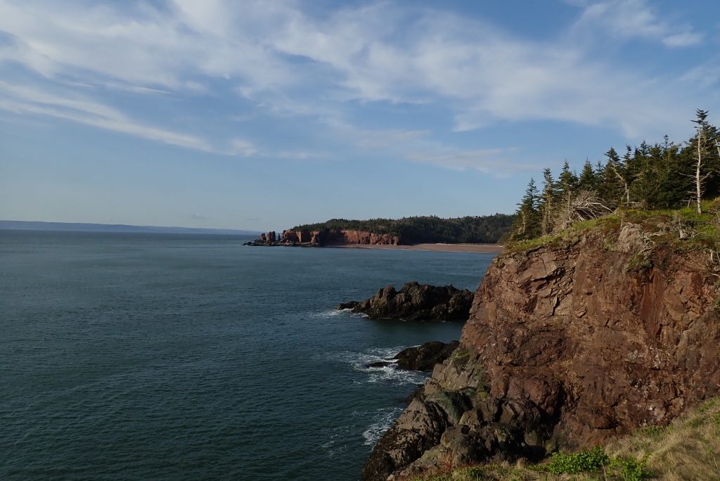
Cape Chignecto Provincial Park sits on the Bay of Fundy in Nova Scotia, Canada. On it resides a 33 mile (53km) backpacking loop that I had my eye on for years. Looking at the pictures had me salivating at the beauty but the thought of such a long drive for a 3 day backpacking trip seemed excessive. As a point of reference, it is around a 13-15 hour drive from my house depending on traffic and pit stops. The other thing that seemed to hold me back was the lack of information about some aspects of the trip. In this post I will try to fill you in on a few things that may help you plan.
Let’s start at the beginning and go from there. First, there are three types of camping spots on the Cape. There are huts, backcountry sites and kayak sites. All three require a permit and permits are not free. As of this writing, the camp sites are $26.70 CAD while the huts are $59.40 CAD. I actually didn’t check if there are different prices for holidays so you will need to check that out. You can reserve your sites here.
Parking at the park is in a nice large lot by the welcome center and there is no fee for parking. That said, you are only allowed to park there overnight if you have a permit for that evening and have checked in. I hope you noticed the end of that last sentence. When you get to the park, you need to check in before you head out so don’t arrive before they are open and just start hiking. Also, you should let them when you are done at the welcome center as well. I would like to mention that the people working in the welcome center were AWESOME! They gave me a photocopy of a map with mileage on it, the tide chart for the weekend, and also information about the camp sites. Also, they were just really nice. Kudos to them!
Let’s talk about mileage. When I was planning my hike I wasn’t sure about the exact mileage of each segment because it seemed hard to find online. When I got there, it wasn’t much better since they gave me a map and that map didn’t match the signs in the park. Let’s just go with the map since it was a photocopy and would be easier to change the actual signs in the park so it is probably more accurate. The photocopy was not very clear to begin with and then spent a weekend in my pocket so I am not going to bother scanning it in here. Instead, I will just list in the data points on the map. So you can follow along, there is a map on the park brochure. You will notice the individual mileages don’t add up to 33 miles (53km) even on the map but I guarantee you will walk more than 33 after walking to every lookout and exploring every cove.
Mileage (Clockwise from Red Rocks):
- Red Rocks to Mill Brook: 3.7 miles (5.9km) if you take the beach shortcut or 4.4 miles (7.1km) if you don’t.
- Mill Brook to Refugee Cove: 3.8 miles (6.4km)
- Refugee Cove to Cape Chignecto Point: 2.5 miles (4km)
- Cape Chignecto Point to Little Bald Rock: 1.5 miles (2.5km)
- Little Bald Rock to Big Bald Rock: 1 mile (1.6km)
- Big Bald Rock to Keyhole Brook: 3.1 miles (5km)
- Keyhole Brook to Seal Cove: 2.1 miles (3.4km)
- Seal Cove to Eatonvile: 3.3 miles (5.4km)
- Eatonville back to the trail east of Mill Brook: 6.2 miles (10.4km)
- The trail intersection back to Red Rocks: Probably around 2 miles (3.2km) if you take the beach and 2.7 if you stay inland (4.3km). It is hard to tell how far I had to travel from the intersection to the stairs down to the beach.
Note: In the sections between Red Rocks and Refugee Cove, there are two very steep descents and subsequent assents. If you have knee issues, you may want to do this trip counter clockwise so you don’t have as much food in your pack when doing the steep sections.
While the mileage isn’t overly difficult, I found myself wishing I did this trip in 4 days instead of 3. As noted above, there is one gorgeous view after another along the coast and I wish I could have just parked my butt on a rock and soaked it in. The section between Eatonville back to the main trail is mostly woods so you can just speed through that even though it is still beautiful. Make sure any extra time is spent between Refugee Cove and Eatonville if you want to extend it out as the best views reside between those points.
Water was abundant when I was on the trail and I believe most of those water sources will be running all year long. There were so many little streams, I really didn’t need to carry as much as I did.
Cell phone coverage was non-existent at the camp sites and inland but I could always get a signal when I was right on the coast. Make sure you make any calls and check your messages before heading in to camp for the night. Also, the section between Eatonville and Mill Brook is inland so you won’t have coverage there.
I will be posting a trail report with some pictures and more information about my trip in another post and will link it here when I am done. I also hope to take some of the video footage and create a youtube video with some of the sights and sounds (Edit: The video is live now). If you have any questions, feel free to comment and I will do my best to answer. Obviously the best place to check first is their website or give them a call. They are very nice!
Cape Chignecto Provincial Park
2018 Season Dates: May 18 to October 8
Park contact number: (902) 392-2085
Civic address: 1108 West Advocate Road, Advocate Harbour, NS